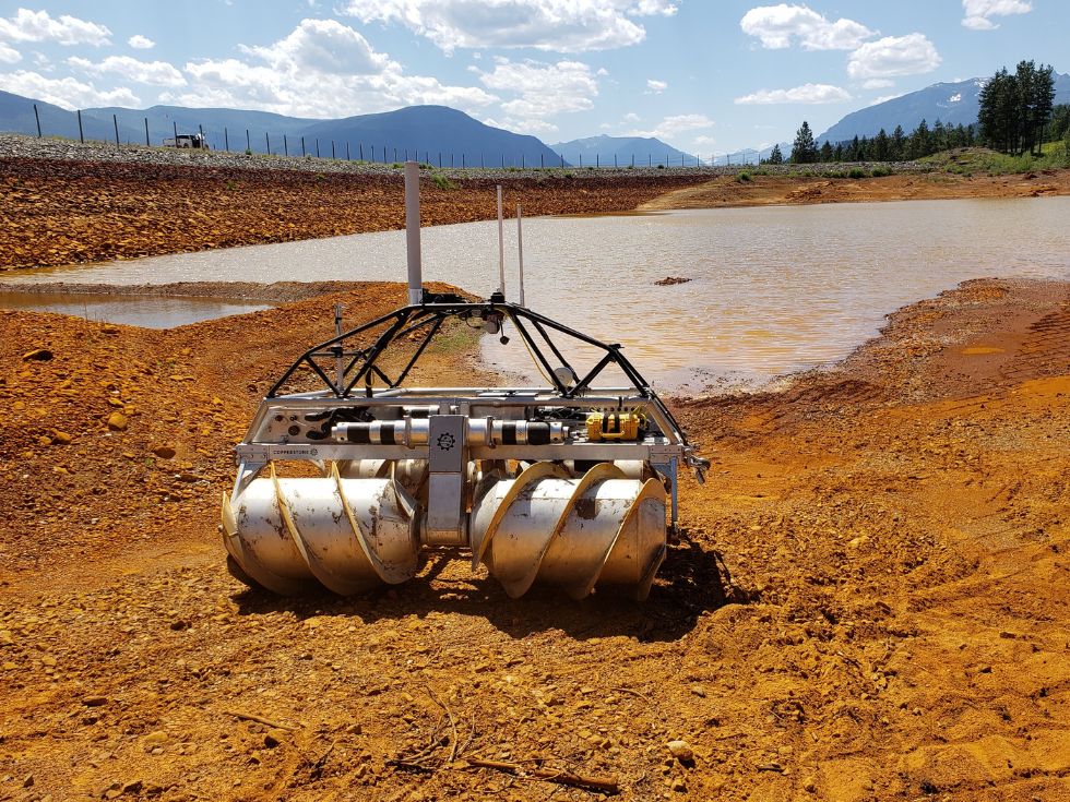
Bathymetry is a topographic study of the depths and shapes below the water surface. The data are a combination of a spatial positioning and water depth, obtained by accurate GNSS and sonar measurements. The sonar system is carried below the water line and sends a precise sound wave ‘ping’ that is reflected off the bottom of the pond (or mudline). The time of flight for the sound to return to the sensor is used to measure the depth of the water. Different frequencies return from different seabed materials and can provide additional information. High frequency 200kHz beams can be used to detect water-mudline interfaces, whereas lower frequency, 33kHz beams penetrate mud and can be used for hard bottom detection. The difference in these values can be used to estimate sludge levels in a pond.
HELIX robots often employ a physical validation of sonar measurements. The robot is able to drop a weighted line and physically sense the bottom of the pond. This value can be used to calibrate or validate sonar measurements, and is modeled after the classic technique of dropping a weighted rope or density plate.
Sonar measurements in water are affected by salinity and water temperature. HELIX often employs a sound velocity profiler to collect hydrophysical parameters used to improve sonar results.
HELIX works with most types of sonar systems systems, and standard issue includes a CEE-ECHO compact dual frequency hydrographic survey echo sounder, an Airmar 33/200 kHz transducer AML and Base•X₂ sound velocity profiler. Multibeam systems and other tools are available.
Reach out to see how we can help you
